Run-down motel, Allendale, S.C.

Run-down motel, Allendale, S.C.  Photo by Michael Kaynard.
Run-down motel, Allendale, S.C. Photo by Michael Kaynard.

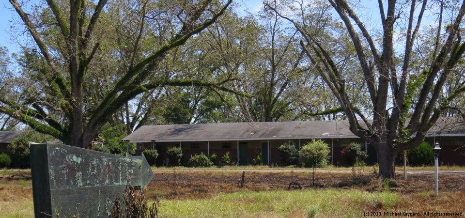
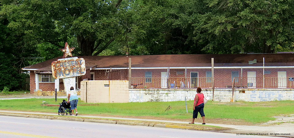
Perhaps this image is the perfect characterization of poverty throughout the Southern Crescent.  Not only is the word “crescent” misspelled in the sign outside this seemingly-abandoned motel in Allendale, S.C.  But upon close scrutiny, it’s clear people are actually living in the rooms of this dilapidated place.

NOTE: This photo originally ran in September 2013, but we’re republishing today to remind people about the depth of poverty throughout the Southern Crescent.

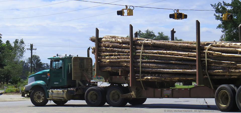
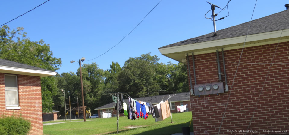
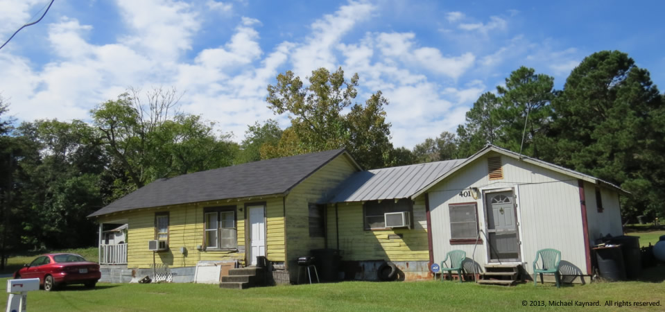
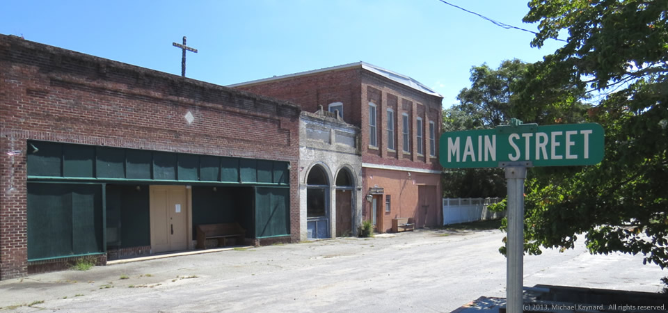
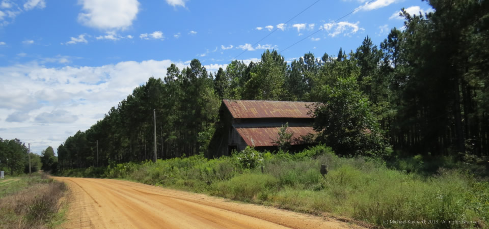
Rural Allendale County in South Carolina’s southwest corner as one of the Crescent’s highest poverty rates — more than 40 percent of people live below the federal poverty level. The median household income is about $23,000 a year — half of South Carolina’s average and well below the nation’s $50,000 average.

Photo by Michael Kaynard, Sept. 22, 2013.  All rights reserved.

Waring statue, Charleston, S.C.

14.0410.waring

The late U.S. District Judge J. Waties Waring of Charleston, S.C., is being honored Friday with a statue that is a fitting remembrance for his huge role in ending segregation.

Waring became a social outcast in the late 1940s and early 1950s for civil rights rulings which culminated with a dissent in Briggs v. Elliott from rural Clarendon County, a Crescent county today.  Waring’s dissent is notable because it became the backbone for the landmark Brown v. Board of Education in 1954 that ended segregation in public schools.

Photo by Michael Kaynard.  All rights reserved.

Hauling lumber, Cooperville, Ga.

Hauling lumber, Screven County, Ga.


Here’s a typical scene across the rural South — a log truck hauling lumber to be processed into 2x4s or pulverized into pulp for mills.

These days, the forest products market in the U.S. is considered optimistic in the near-term, according to a 2013 report by USEndowment.org.  And that, should help the rural South.  In the longer term, the market faces challenges and opportunities, according to the report.

In the photo above, the truck was turning off U.S. Highway 301 in Cooperville, Ga., in Screven County and heading toward Savannah. The county, which had 2,675 people in 2000, according to the Census, got started after the Revolutionary War and soon became part of the Black Belt of Georgia where cotton became an important staple crop tended by enslaved African Americans.

The county’s population jumped from 3,019 in 1800 to 8,274 by 1860, according to Census figures.  While it had 14,593 people in 2010, the county lost an estimated 391 people — 2.7 percent — by 2012, according to the U.S. Census.  In 2010, Some 25.4 percent of county residents lived below the federal poverty level, 9 points higher than the state average.

Photo taken Sept. 23, 2013, by Michael Kaynard.  All rights reserved.

Abandoned chair, Statesboro, Ga.

Abandoned chair, Statesboro, Ga.

This photo can be taken in almost any rural Southern town — an abandoned piece of furniture tossed onto the side of the road.

This upholstered chair is near a housing project in Statesboro, Ga., where about 50 percent of the town’s population lives in poverty, according to the U.S. Census.  While it’s likely that most of those living in “poverty” really are students who live cheaply in shared apartments, you can find evidence of poverty if you look around.

Statesboro is 54 percent white and 40 percent black.  Its median household income is $19,554, according to the Census.  It also is the county seat of Bulloch County, which has 72,694 people (2012), two thirds of which are white.  Just over 30 percent of residents live in poverty.  The median household income for the county is $33,902.

Photo taken Sept. 23, 2013 by Michael Kaynard.  All rights reserved.

Clothes line, Statesboro, Ga.

13.1122_statesborolaundry

While it is unclear whether Statesboro, Georgia’s poverty rate is artificially high because all of the students who attend Georgia Southern University, there are parts of the community where it’s clear that there are a lot of needs.  This photo shows a housing project in the western part of the city.

U.S. Census data show more than 50 percent of Statesboro’s 29,779 people live at or below the federal poverty level.  The community is 54 percent white and 40 percent black.  Its median household income is $19,554, according to the Census.

Statesboro is the county seat of Bulloch County, which has 72,694 people (2012), two thirds of which are white.  Just over 30 percent of residents live in poverty.  The median household income for the county is $33,902.

Photo taken Sept. 23, 2013 by Michael Kaynard.  All rights reserved.

Yellow house, Statesboro, Ga.

Yellow house, Statesboro, Ga.

While it is unclear whether Statesboro, Georgia’s poverty rate is artificially high because all of the students who attend Georgia Southern University, there are parts of the community where it’s clear that there are a lot of needs.  This house is in the western part of the city.

U.S. Census data show more than 50 percent of Statesboro’s 29,779 people live at or below the federal poverty level.  The community is 54 percent white and 40 percent black.  Its median household income is $19,554, according to the Census.

Statesboro is the county seat of Bulloch County, which has 72,694 people (2012), two thirds of which are white.  Just over 30 percent of residents live in poverty.  The median household income for the county is $33,902.

Photo taken Sept. 23, 2013 by Michael Kaynard.  All rights reserved.

Spooky, Cooperville, Georgia

13.1031.spooky
Spooky, abandoned motel, Cooperville, Ga.

Doesn’t this abandoned motel look plain spooky — a place NOT to be on Halloween?

It’s in rural Screven County, Ga., about 12 miles south of the county seat, Sylvania, at the intersection of U.S. Highway 301 and Georgia Highway 17.  Next to the hotel is the abandoned Paradise Restaurant, that kind of reminds us of the Lobster House, also in Highway 301, about 45 minutes northeast.

Screven County got started after the Revolutionary War and soon became part of the Black Belt of Georgia where cotton became an important staple crop tended by enslaved African Americans.

The county’s population jumped from 3,019 in 1800 to 8,274 by 1860, according to Census figures.  While it had 14,593 people in 2010, the county lost an estimated 391 people — 2.7 percent — by 2012, according to the U.S. Census.  In 2010, Some 25.4 percent of county residents lived below the federal poverty level, 9 points higher than the state average.

Photo taken Sept. 23, 2013, by Michael Kaynard.  All rights reserved.

Main Street, Rocky Ford, Ga.

Rocky Ford, Ga.
Rocky Ford, Ga.

Rocky Ford, Ga., a circa 1870s town with “untold treasures and endless opportunities” according to this site, is home to about 200 people in rural Screven County in eastern Georgia.

According to photographer Brian Brown, “After putting much of her personal wealth and energy into the restoration of her beloved hometown of Rocky Ford, Greta Newton is now offering its historic commercial core for sale. Without her passion for the history of this place, it would have suffered the same fate as so many of our forgotten small towns in Georgia.”

Rocky Ford is in Screven County, which had 2,675 people in 2000, according to the Census.  Screven County got its start after the Revolutionary War and soon became part of the Black Belt of Georgia where cotton became an important staple crop tended by enslaved African Americans.

The county’s population jumped from 3,019 in 1800 to 8,274 by 1860, according to Census figures.  While it had 14,593 people in 2010, the county lost an estimated 391 people — 2.7 percent — by 2012, according to the U.S. Census.  In 2010, Some 25.4 percent of county residents lived below the federal poverty level, 9 points higher than the state average.

Photo taken Sept. 23, 2013, by Michael Kaynard.  All rights reserved.

Old barn, Emanuel County, Ga.

13.1008.barn

Orange dirt roads.  Pine trees.  Cotton fields.  This photo evokes the writing of Georgia’s Erskine Caldwell.  It was taken in Georgia’s cotton country just north of the intersection of U.S. Highway 80 and Georgia Highway 121 in Emanuel County.

According to the Cotton Council International 2013 Buyers’ Guide, Georgia farmers grew more than 15 percent of the nation’s cotton in 2011-12 by producing 2.465 million bales.  The only state that grew more cotton was Texas, which produced 3.5 million of the nation’s 15.573 million bales in 2011-12.

Emanuel County,located north of Statesboro, Ga., has almost 23,000 people and a poverty rate of 24.5 percent, according to the U.S. Census.

Photo taken Sept. 23, 2013, by Michael Kaynard.  All rights reserved.

Cotton, Emanuel County, Ga.

Cotton, Emanuel County, Ga.  Photo by Michael Kaynard.
Cotton, Emanuel County, Ga. Photo by Michael Kaynard.

Cotton is bustin’ out all over the South, but particularly in the fields of middle Georgia, the state that grows the most cotton in the Southern Crescent region.  According to the Cotton Council International 2013 Buyers’ Guide, Georgia farmers grew more than 15 percent of the nation’s cotton in 2011-12 by producing 2.465 million bales.  The only state that grew more cotton was Texas, which produced 3.5 million of the nation’s 15.573 million bales in 2011-12.

This photo was taken just north of the intersection of U.S. Highway 80 and Georgia Highway 121 in Emanuel County, which has almost 23,000 people and a poverty rate of 24.5 percent, according to the U.S. Census.

Photo taken Sept. 23, 2013, by Michael Kaynard.  All rights reserved.