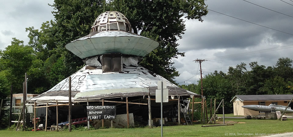
Yep, there’s a welcome center for UFOs in the heart of the Southern Crescent in Bowman, S.C., in rural Orangeburg County.
The saucer-shaped building is in the yard of Jody Pendarvis, who started building it in 1994, according to RoadsideAmerica.com.
Mount Pleasant resident Don Gordon snapped the photo on a detour through Bowman in an attempt to avoid traffic jam on Interstate 26.
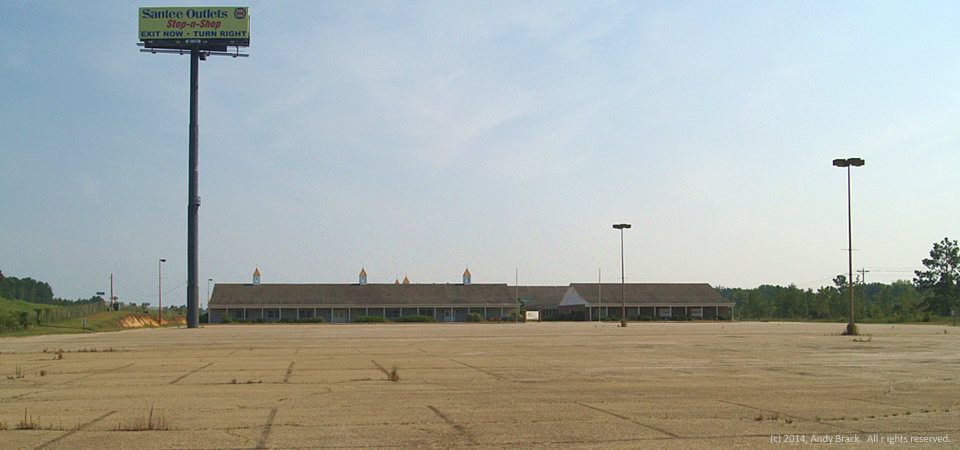
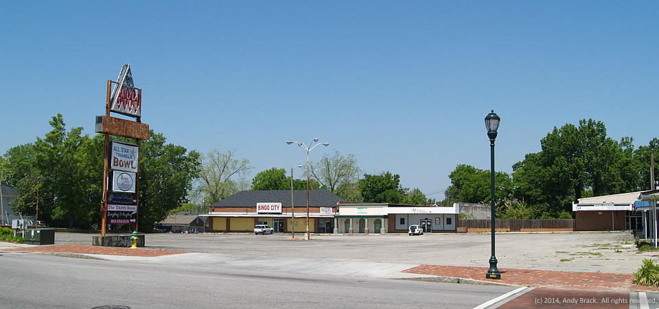
Orangeburg County is home too more than 91,000 people, two thirds of whom are black. The county has a poverty rate of 24.5 percent. The City of Orangeburg, known for its gardens and historically black colleges, officially is home to 13,850 people and has a 31.3 poverty rate in 2012, but the greater area has more than 65,000 people.
Copyrighted photo was taken and originally posted in August 2014 by Don Gordon. All rights reserved.